Article 1.1 Introduction
Everybody will be familiar with Building Information Modelling (BIM) for building construction, but when it comes to underground utilities, there is no set standard, format or workflow for BIM. Industry still uses the traditional method of 2D Computer Assisted Drawing (CAD) for underground utilities.
Underground Utilities BIM is a modern methodology that enhances the planning, design, and management of underground utilities projects. Through adopting and developing BIM for underground utilities, we can create more effective workflows that save a significant amount of time and money.
In this series of articles, I will be explaining underground utilities BIM and its benefits.
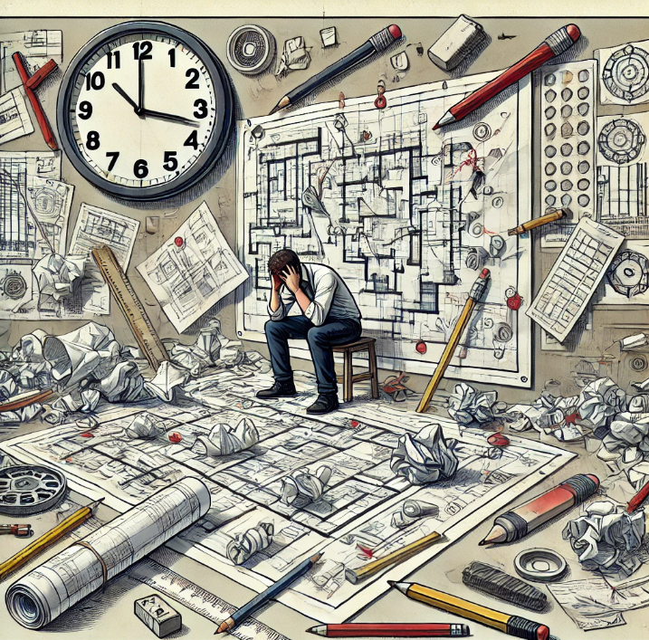
Article 1.2 Challenges of the Traditional Method
2D design, while useful in many contexts, has several disadvantages, especially when compared to 3D design. Here are some key drawbacks:
- Limited Visualization: 2D designs can struggle to represent complex geometries and spatial relationships, making it difficult to visualize the final product accurately.
- Lack of Depth: Without a third dimension, it’s challenging to understand the depth and volume of objects, which can lead to misinterpretations.
- Error-Prone: Checking for errors in 2D designs can be more difficult, as it’s harder to spot issues related to assembly and fit.
- Time-Consuming Modifications: Making changes in 2D drawings can be labour-intensive and time-consuming.
- Physical Prototyping Required: 2D designs often need physical prototypes to fully understand and validate the design, which can be costly and time-consuming.

Article 1.3 Benefits of Underground Utilities BIM Technology
BIM can and should be utilized to overcome the issues above. Here are some key aspects of Underground Utilities BIM:
- Enhanced Visualization and Collaboration: BIM provides a 3D virtual representation of underground utilities, making it easier for designers, engineers, and stakeholders to visualize and collaborate on the project.
- Clash Detection: BIM helps identify potential clashes between different utilities and/or other infrastructure elements early in the design phase, reducing the risk of costly rework and delays.
- Optimized Space and Resource Management: By accurately mapping underground utilities, BIM allows for better space utilization and resource management, ensuring efficient use of available space.
- Improved Maintenance and Lifecycle Management: BIM models serve as a comprehensive database for the entire lifecycle of the utility infrastructure, aiding in maintenance, repairs, and upgrades.
- Safety and Risk Mitigation: With precise information about the location and condition of underground utilities, BIM enhances safety by reducing the risk of accidental damage during construction and maintenance.
- Integration with Smart Technologies: BIM can integrate with other smart technologies like Geographic Information Systems (GIS) and Internet of Things (IoT) devices, providing real-time data and improving decision-making.
- Environmental Impact Reduction: By optimizing designs and reducing unnecessary excavation, BIM helps minimize the environmental impact of construction projects.

Want more? Watch this!
Next Article
.png)
Myat Kaung San is a Building Information Modelling Specialist that cut his teeth in the complex civil works of Singapore's underground infrastructure. He has recently moved to Canada seeking new horizons. Here's his linkedin and youtube.


 US 17108
  GB 12256
  CA 10375
  BR 10090
  AU 9819
  IE 4815
  NZ 3978
  IN 1962


